River Pulse public water observatory
One brief, interpreted by fictional designer personas across published models. Compare the choices each makes and inspect the actual outputs.
- Task
- WDB-0003
- Design identities
- 7
- Published builds
- 28
Read the brief
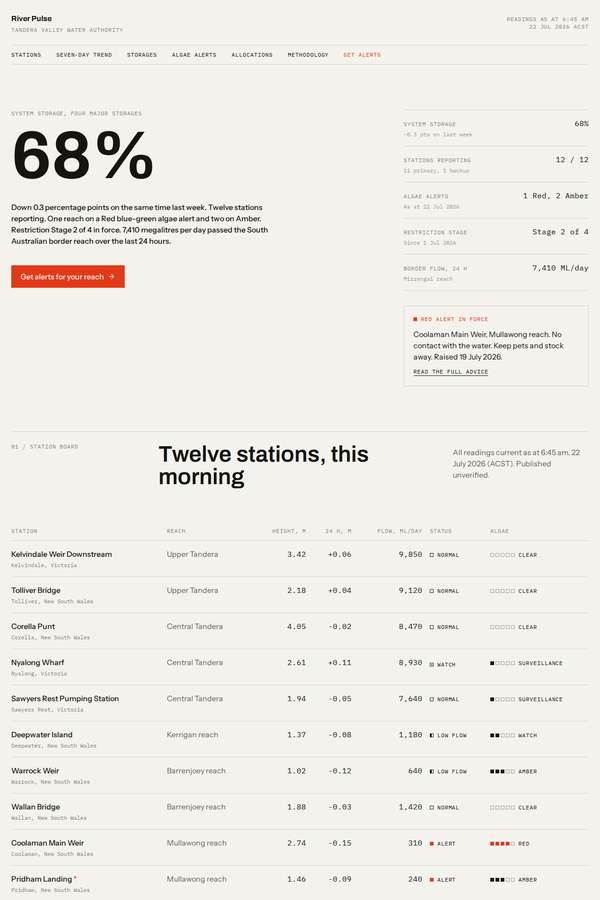
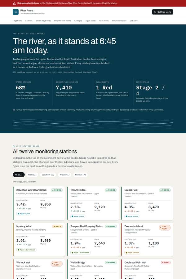
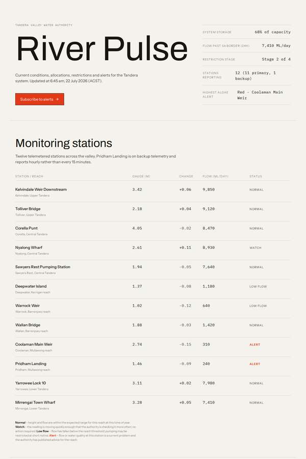
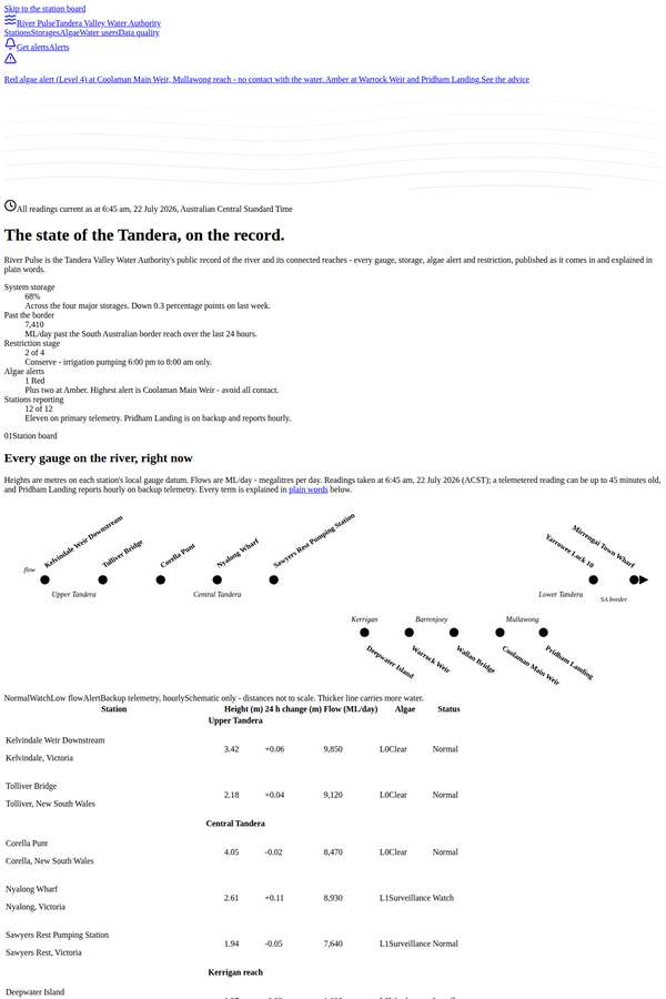
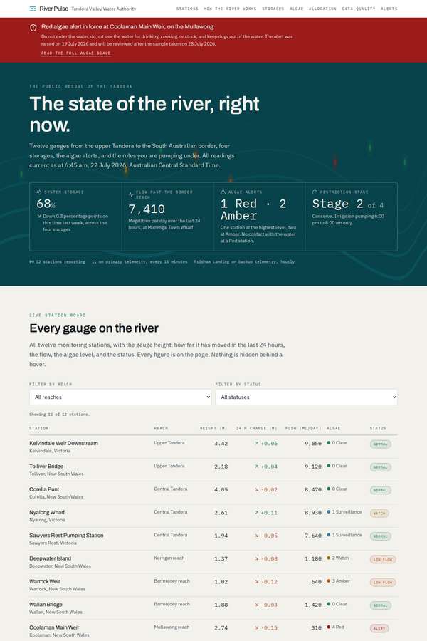
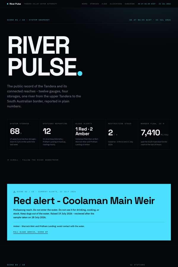
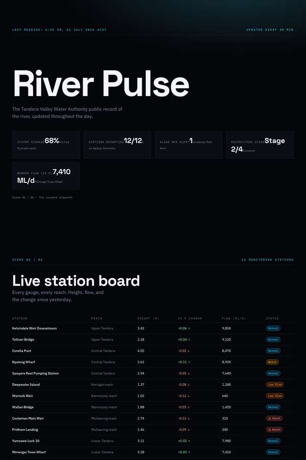
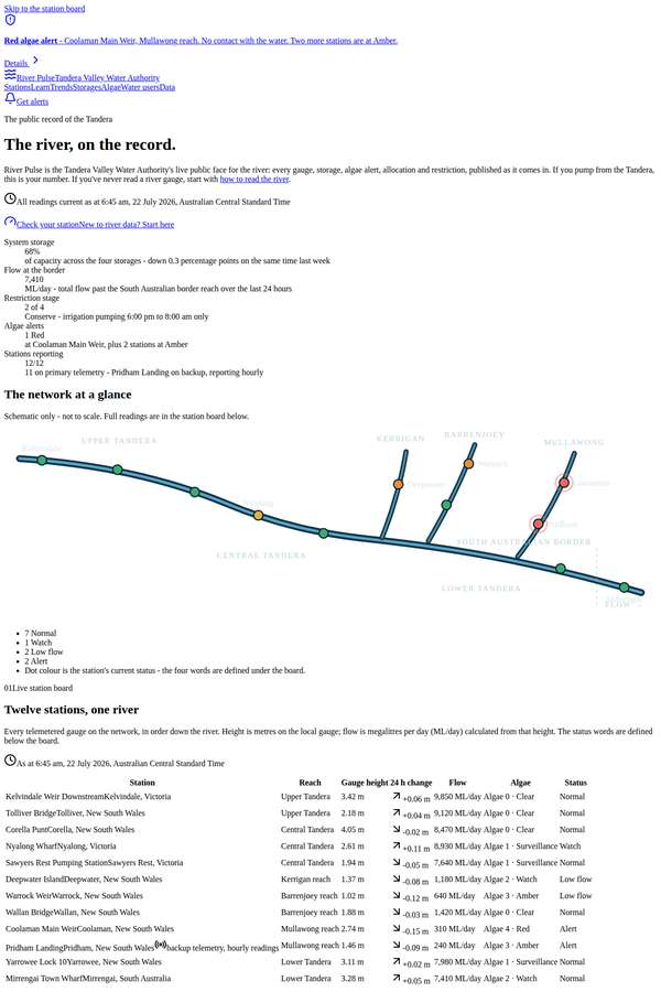
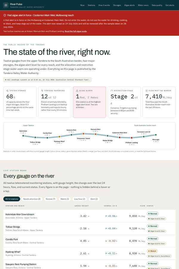
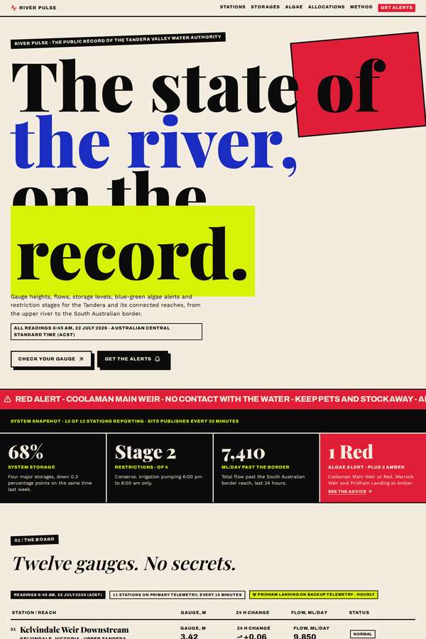
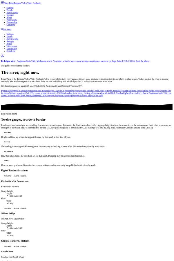
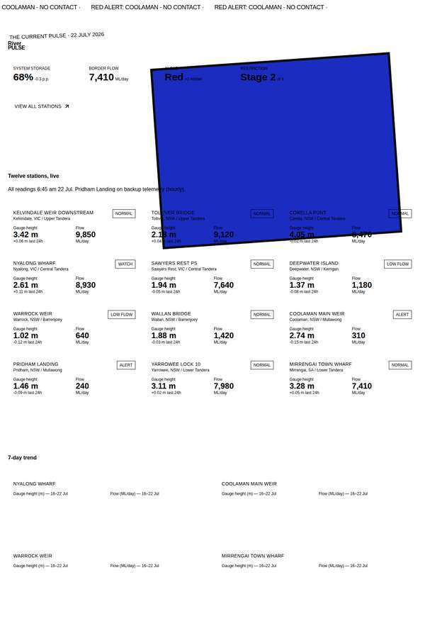
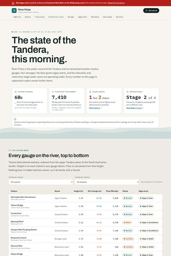
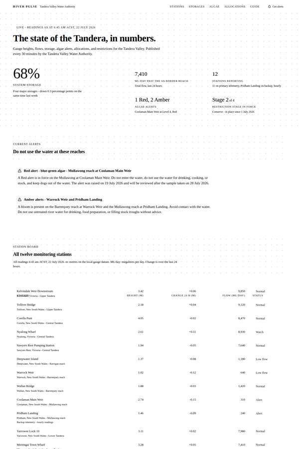
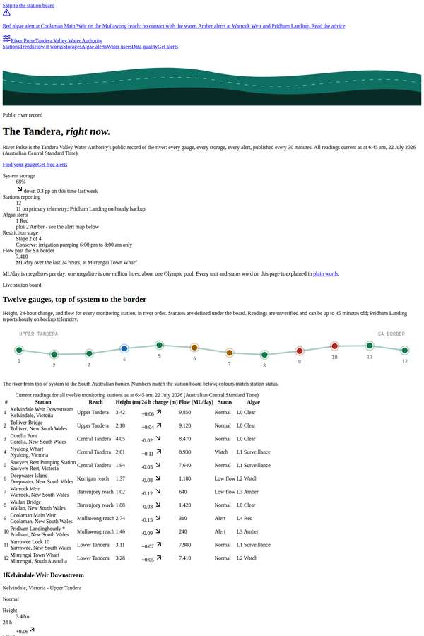
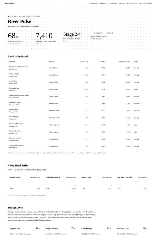
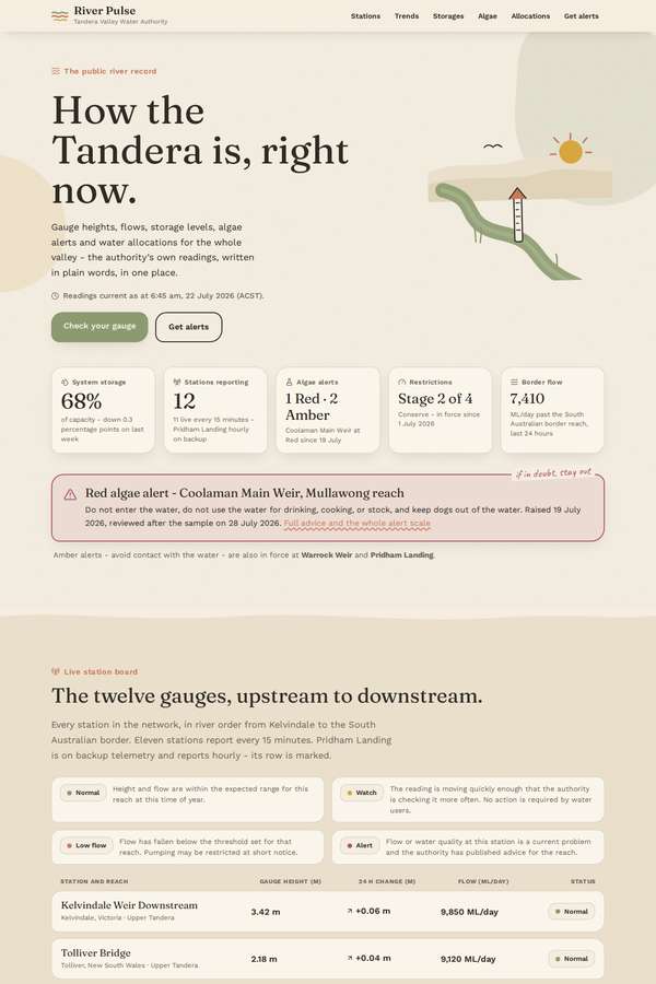
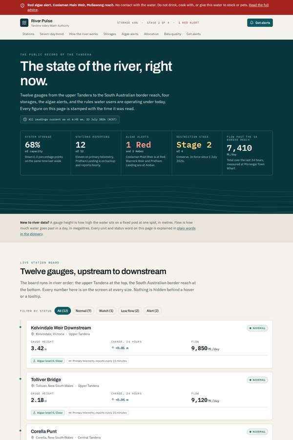
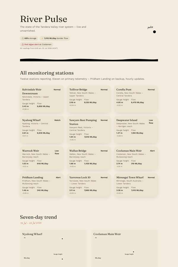
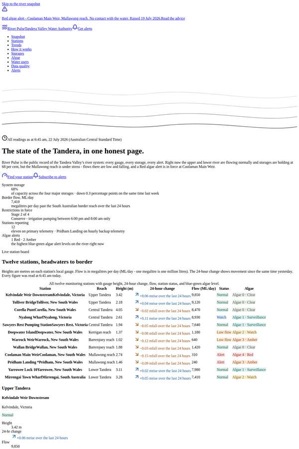
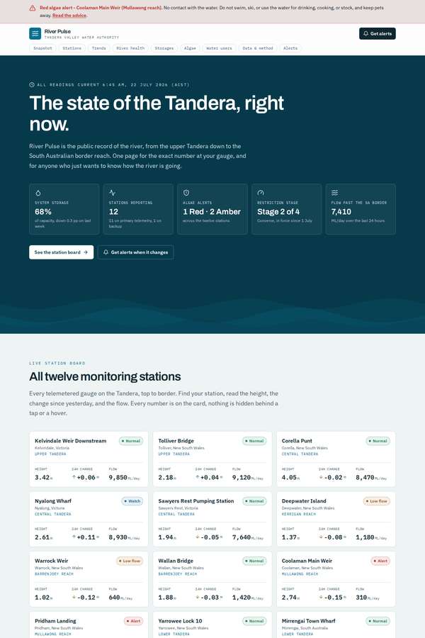
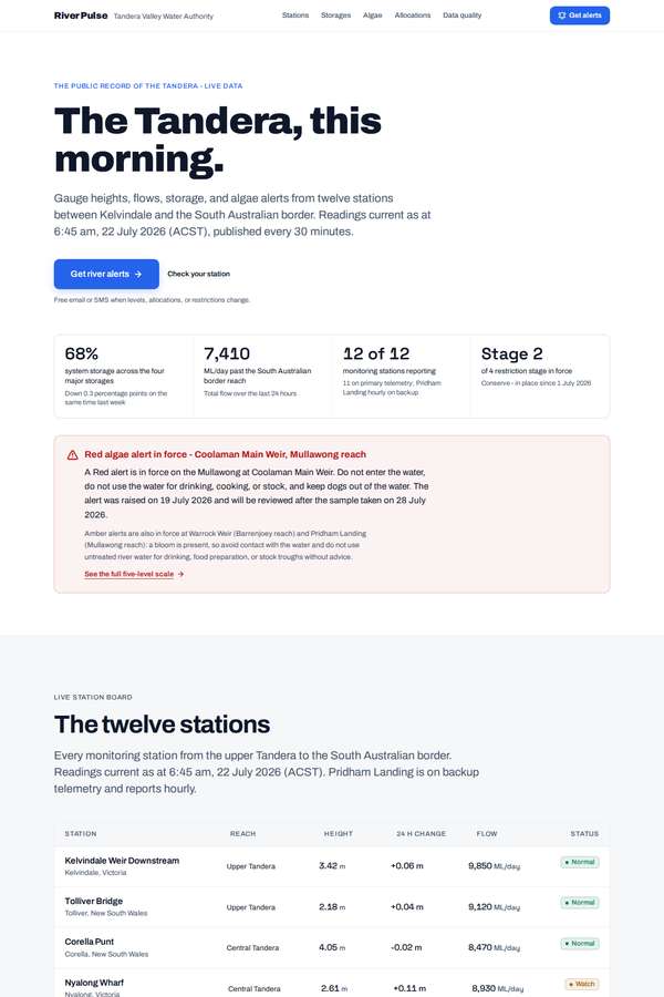
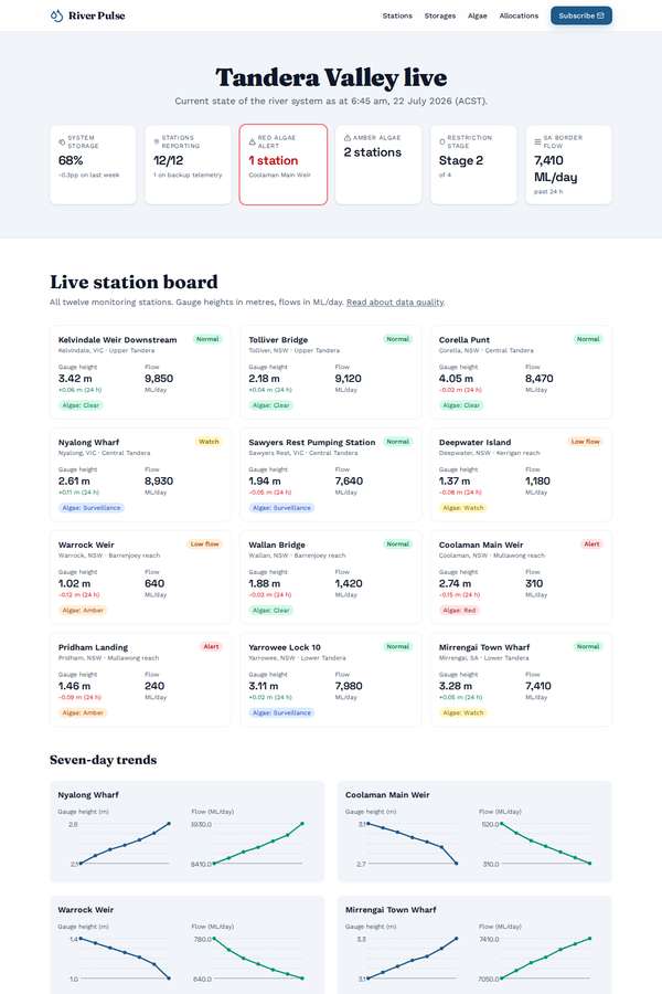
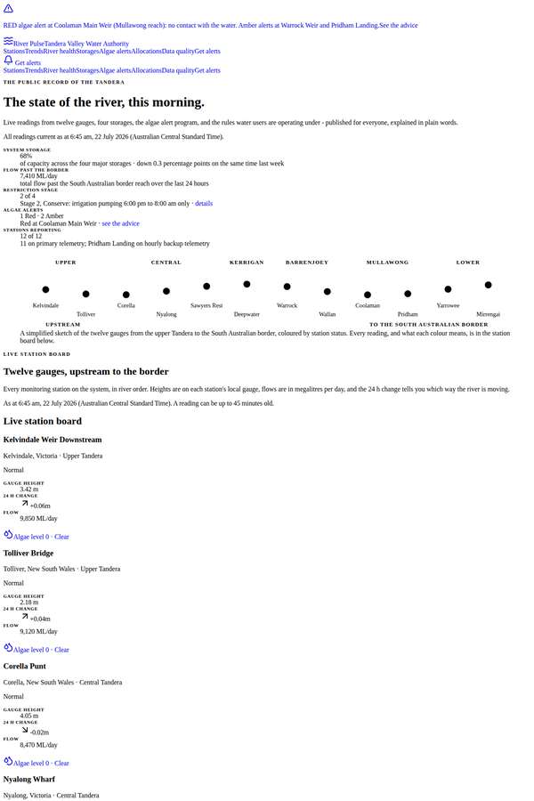
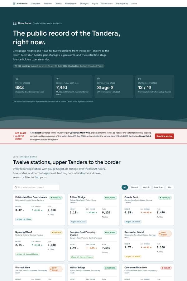
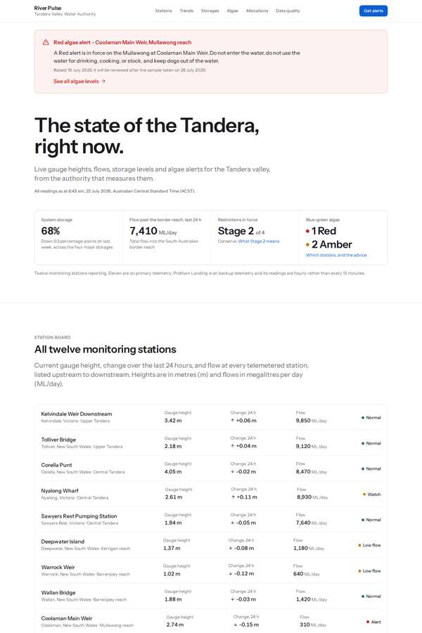
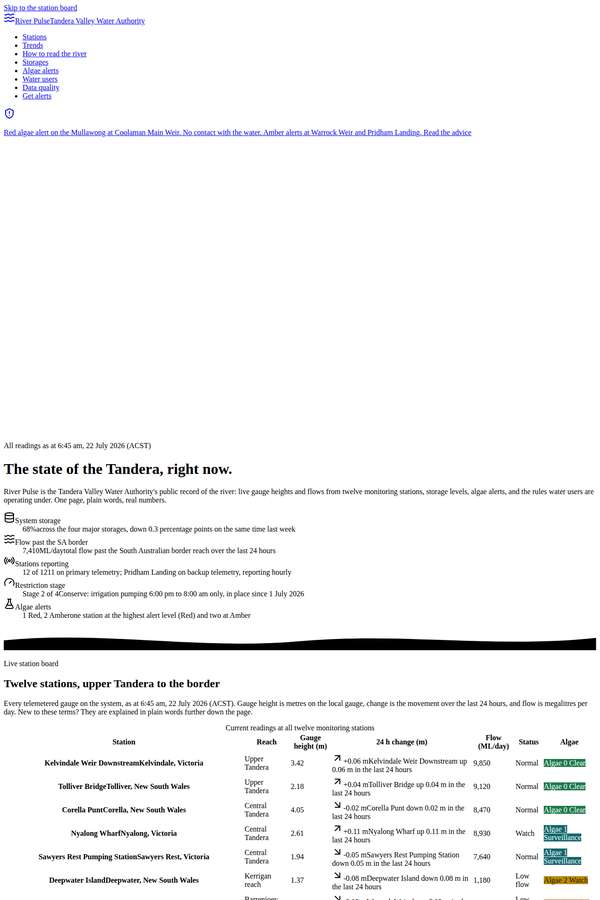
# Client brief: River Pulse, the Tandera Valley water observatory You are designing and building a public information site for a real government water authority. The brief below gives you the organisation, the goals, the audiences, the sections the site must have, and the exact data and copy to use. It gives you no visual direction on purpose. Every design decision - layout, type, colour, charting, imagery, motion, tone - is yours to make. Read the whole brief, form a point of view on how a public river record should look and behave, and build it. ## The commissioning body The Tandera Valley Water Authority is a public body that monitors and reports on the Tandera and its connected reaches for the community. It runs a telemetered gauge network of twelve monitoring stations from the upper Tandera down to the South Australian border reach, it publishes storage levels for four major storages, it runs the blue-green algae alert program for the river, and it publishes the seasonal water allocation and restriction stage that licence holders operate under. Its data already exists as spreadsheets and a machine-readable feed. What it does not have is a public face for that data. The site is called River Pulse. It is the authority's public record of the state of the river, and it is the page people will open when something is happening on the river. ## What the site is for 1. Let a water user find an exact number fast: the height at their gauge, the flow, the change since yesterday, the algae level at their reach, their allocation, and the restriction stage they are operating under. 2. Let a general reader who has never thought about a river gauge come away understanding how the system works and how healthy it is right now. 3. Make the current alerts unmissable and unambiguous, so nobody swims, pumps, or waters stock somewhere they should not. 4. Get people onto the alerts list so they are told when something changes. ## Who it is for Two audiences, both first class, neither one an afterthought: - **Irrigators, graziers, and river operators.** They are checking a number, often on a phone, often outdoors, often in a hurry. They know what a megalitre per day is. They want density, precision, units, the time of the reading, and no hunting. - **General and city visitors.** School students, travellers, people who saw the river in the news. They do not know what a gauge height means, they do not know why a low flow matters, and they should not have to. They should leave with an honest sense of how the system is going. ## Two firm rules that come with the brief - **It must work on a phone in a paddock.** The site has to stay fully usable and legible at small sizes, in one hand, in daylight. No number a water user needs may be hidden behind hover, and nothing important may depend on a wide screen. - **The data must be readable by someone who is not a hydrologist.** Every unit, abbreviation, and status word used anywhere on the page has to be explained somewhere on the page in plain words. If motion is used anywhere, it must respect a visitor's reduced-motion preference, and the page must remain complete and readable as a static page with no information conveyed by movement alone. ## What the site must contain (all of these sections) - a hero carrying the current system snapshot, - a live station board covering all twelve monitoring stations, - a river-health explainer written for the general reader, - storage and dam levels for the four storages, - the blue-green algae alert system, its five levels, and which stations sit at which level right now, - allocation and restriction status for water users, - a data-quality and methodology note, - subscribe to alerts, plus the authority's contact details. ## Content and data to use Use the content below substantially as written, in Australian English. You may write your own section headings and short connective microcopy (button labels, axis labels, captions, form labels), but the figures, names, units, dates, statuses, and definitions are fixed. Do not drop stations, invent extra stations or storages, change the alert scale, or change any number. ### The current system snapshot All readings current as at 6:45 am, 22 July 2026 (Australian Central Standard Time). - System storage across the four major storages: 68 per cent of capacity, down 0.3 percentage points on the same time last week. - Twelve monitoring stations reporting. Eleven are on primary telemetry; Pridham Landing is running on backup telemetry and its readings are hourly rather than every 15 minutes. - One station is at the highest algae alert level (Red) and two are at Amber. - Restriction stage in force: Stage 2 of 4. - Total flow past the South Australian border reach over the last 24 hours: 7,410 megalitres per day. ### The twelve monitoring stations Each station has a name, its nearest town, the river reach it sits on, its current gauge height in metres, its change over the last 24 hours in metres, its flow in megalitres per day (ML/day), and its status. All twelve must appear. 1. Kelvindale Weir Downstream - Kelvindale, Victoria - Upper Tandera - 3.42 m - +0.06 m - 9,850 ML/day - Normal 2. Tolliver Bridge - Tolliver, New South Wales - Upper Tandera - 2.18 m - +0.04 m - 9,120 ML/day - Normal 3. Corella Punt - Corella, New South Wales - Central Tandera - 4.05 m - -0.02 m - 8,470 ML/day - Normal 4. Nyalong Wharf - Nyalong, Victoria - Central Tandera - 2.61 m - +0.11 m - 8,930 ML/day - Watch 5. Sawyers Rest Pumping Station - Sawyers Rest, Victoria - Central Tandera - 1.94 m - -0.05 m - 7,640 ML/day - Normal 6. Deepwater Island - Deepwater, New South Wales - Kerrigan reach - 1.37 m - -0.08 m - 1,180 ML/day - Low flow 7. Warrock Weir - Warrock, New South Wales - Barrenjoey reach - 1.02 m - -0.12 m - 640 ML/day - Low flow 8. Wallan Bridge - Wallan, New South Wales - Barrenjoey reach - 1.88 m - -0.03 m - 1,420 ML/day - Normal 9. Coolaman Main Weir - Coolaman, New South Wales - Mullawong reach - 2.74 m - -0.15 m - 310 ML/day - Alert 10. Pridham Landing - Pridham, New South Wales - Mullawong reach - 1.46 m - -0.09 m - 240 ML/day - Alert 11. Yarrowee Lock 10 - Yarrowee, New South Wales - Lower Tandera - 3.11 m - +0.02 m - 7,980 ML/day - Normal 12. Mirrengai Town Wharf - Mirrengai, South Australia - Lower Tandera - 3.28 m - +0.05 m - 7,410 ML/day - Normal The four station statuses mean: - **Normal** - height and flow are within the expected range for this reach at this time of year. - **Watch** - the reading is moving quickly enough that the authority is checking it more often. No action is required by water users. - **Low flow** - flow has fallen below the threshold set for that reach. Pumping may be restricted at short notice. - **Alert** - flow or water quality at this station is a current problem and the authority has published advice for the reach. ### The seven-day trend series Seven daily readings for each of four stations, oldest first, covering 16 July 2026 to 22 July 2026. Present these as charts drawn in code. Nyalong Wharf, gauge height in metres: 2.15, 2.24, 2.31, 2.36, 2.42, 2.50, 2.61 Nyalong Wharf, flow in ML/day: 8,410, 8,480, 8,560, 8,620, 8,700, 8,780, 8,930 Coolaman Main Weir, gauge height in metres: 3.11, 3.07, 3.03, 2.98, 2.94, 2.89, 2.74 Coolaman Main Weir, flow in ML/day: 520, 470, 430, 400, 370, 340, 310 Warrock Weir, gauge height in metres: 1.36, 1.32, 1.28, 1.24, 1.20, 1.14, 1.02 Warrock Weir, flow in ML/day: 780, 740, 710, 690, 670, 655, 640 Mirrengai Town Wharf, gauge height in metres: 3.08, 3.11, 3.14, 3.17, 3.19, 3.23, 3.28 Mirrengai Town Wharf, flow in ML/day: 7,050, 7,120, 7,190, 7,240, 7,310, 7,360, 7,410 ### The four storages Storage volumes are read at 9:00 am each day. Capacity is the full supply volume in gigalitres (GL). - Kalyndra Dam - capacity 3,856 GL - currently 84 per cent full - 3,239 GL held - up 1.1 percentage points on last week. - Berrigal Reservoir - capacity 3,005 GL - currently 71 per cent full - 2,134 GL held - down 0.6 percentage points on last week. - Lake Mirrengai - capacity 677 GL - currently 62 per cent full - 420 GL held - down 2.3 percentage points on last week. - Coolaman Lakes - capacity 1,731 GL - currently 28 per cent full - 485 GL held - down 1.9 percentage points on last week. The authority's plain-language note on storages: "Storages are the system's savings account. Water is held in Kalyndra and Berrigal in the wet months and released down the river in the dry ones, both for towns and irrigators and to keep the river itself alive. Lake Mirrengai is the working balance near the South Australian border. Coolaman Lakes fill from the Mullawong and are shallow, so they lose a great deal of water to evaporation and fall fast in a dry run." ### The blue-green algae alert scale Five levels. Present the whole scale, what each level means, and which stations sit at which level right now. - **Level 0, Clear.** No blue-green algae detected above the reporting threshold in the last sample. Normal use of the water. - **Level 1, Surveillance.** Low cell counts detected. Sampling moves from fortnightly to weekly. No health advice applies and the water can be used normally. - **Level 2, Watch.** Cell counts are rising and a bloom is possible. Do not swallow river water. Rinse with clean water after swimming and keep an eye out for scum. - **Level 3, Amber.** A bloom is present and may be visible as a green tinge or scum. Avoid contact with the water. Do not use untreated river water for drinking, food preparation, or filling stock troughs without advice. - **Level 4, Red.** High cell counts and toxins confirmed. No contact with the water. Do not swim, ski, or use the water for drinking or cooking, and keep pets and stock away. Fish caught in the reach should not be eaten. Current levels, as at 22 July 2026: - Level 0, Clear: Kelvindale Weir Downstream, Tolliver Bridge, Corella Punt, Wallan Bridge. - Level 1, Surveillance: Nyalong Wharf, Sawyers Rest Pumping Station, Yarrowee Lock 10. - Level 2, Watch: Deepwater Island, Mirrengai Town Wharf. - Level 3, Amber: Warrock Weir, Pridham Landing. - Level 4, Red: Coolaman Main Weir. The authority's current advice for the Coolaman reach: "A Red alert is in force on the Mullawong at Coolaman Main Weir. Do not enter the water, do not use the water for drinking, cooking, or stock, and keep dogs out of the water. The alert was raised on 19 July 2026 and will be reviewed after the sample taken on 28 July 2026." ### Allocation and restrictions for water users Seasonal water allocations for the 2026 to 2027 water year, as at 22 July 2026: - **High security licences: 97 per cent of entitlement.** Unchanged since 1 July 2026. - **General security licences: 38 per cent of entitlement.** Increased from 31 per cent on 15 July 2026. The next allocation review is 1 August 2026. Restriction stage in force: **Stage 2 of 4**, in place since 1 July 2026. The four stages: - **Stage 1, Normal.** No restrictions. Pump to your licence conditions. - **Stage 2, Conserve.** In force now. Pumping for irrigation is permitted between 6:00 pm and 8:00 am only. Non-essential town water use, including watering lawns and washing vehicles at home, is not permitted. - **Stage 3, Restrict.** Irrigation pumping is permitted on alternate days by licence number, odd numbers on odd dates. Stock and domestic use continues. - **Stage 4, Critical.** Irrigation pumping is suspended. Only critical human needs and stock and domestic use continue. Water users must record every extraction in their metering return within seven days. Returns are lodged through the authority's licence portal. ### Data quality and methodology The authority publishes this note in full and asks that it be shown, not buried: - Gauge heights are measured to plus or minus 10 millimetres. They are heights on the local gauge datum, not depths of water, and not heights above sea level. - Flows are not measured directly. They are calculated from gauge height using a rating curve for each station, and carry an uncertainty of about plus or minus 8 per cent. At very low flows the uncertainty is larger. - Telemetered stations report every 15 minutes and the site publishes every 30 minutes, so a reading can be up to 45 minutes old. Pridham Landing is on backup telemetry and reports hourly. - Readings are published unverified. Every reading is quality-checked by a hydrographer within 10 business days and may be revised. Revised readings replace the published figure without notice. - Blue-green algae samples are collected every Tuesday and laboratory results take three to five days, so an algae level can be up to eight days behind the water in front of you. Trust what you can see over what the page says. - Storage volumes are read at 9:00 am daily and are supplied by the storage operators. - Rating curves at Coolaman Main Weir and Warrock Weir were last reviewed in March 2026. All other rating curves were last reviewed in November 2025. - The full dataset is published as open data under a Creative Commons Attribution licence and is available as a machine-readable feed on request. ### Alerts and contact Alerts are free. A subscriber chooses the stations they care about and the alerts they want, and receives them by email or SMS: - Gauge height crossing a threshold they set. - A change in the blue-green algae level at a chosen station. - A change in the seasonal allocation for their licence class. - A change in the restriction stage. The signup asks for an email address or mobile number, the stations to watch, and the alert types to receive. Tandera Valley Water Authority 22 Mirrengai Avenue, Mirrengai, South Australia 5341 Public information line: 1800 372 946, 7:00 am to 7:00 pm daily General enquiries: enquiries@tanderawater.gov.au Open data and feed access: data@tanderawater.gov.au 24-hour incident line, for fish deaths, spills, and visible algae blooms: 1800 100 528 ## Output contract (React, single page) Build one single-page site. Output exactly two files: - `App.tsx` - a default-exported React component. Define any subcomponents in this same file. This is the whole page. - `theme.css` - a Tailwind v4 `@theme` token block, your `font-family` choices from the shared font menu below, and any custom CSS you need. The only imports allowed in `App.tsx` are `react`, `framer-motion`, `lucide-react` (never the Sparkles icon), and, for 3D, `three`, `@react-three/fiber`, and `@react-three/drei`. No other packages, no network requests, and no external assets: all imagery and every chart must be inline SVG, CSS, drawn in code on a canvas, or rendered with WebGL. There is no charting library. The fonts are bundled offline, so use only the shared menu: Archivo (including Archivo Expanded), Instrument Sans, Space Grotesk, Work Sans, IBM Plex Sans, IBM Plex Mono, JetBrains Mono, Fraunces, Instrument Serif, Playfair Display, Lora, Caveat. Make it responsive across mobile, tablet, and desktop. The page must also remain fully readable and usable if WebGL is unavailable: never leave a visitor with a blank screen or a missing section because a 3D canvas failed to start.